

DISTANT PLACES
Travel tips by Bremen sehenswert far from the Hanseatic City of Bremen
Kos - The Greek Dodecanese Island
A Travel Guide
Mastichari
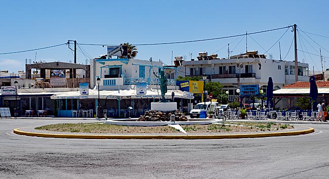
Street scene with a roundabout at the harbor
Originally, people from nearby Antimachia settled along this coast. They rebuilt their homes here after they were destroyed by an earthquake in 1933 in the higher-lying area. The inhabitants lived off fishing and farming until the tourism boom began in the early 1980s. Today, it is a popular destination with all the necessary infrastructure and amenities to ensure that package tourists have everything they need.
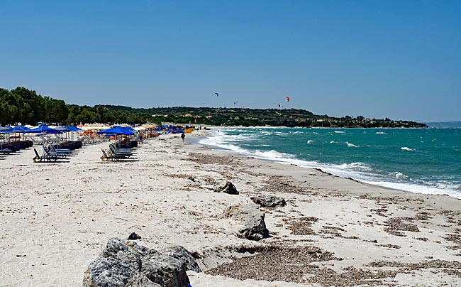
View of the beach
A wide sandy beach is perfect for sunbathing, seaside strolls, or building sandcastles, while the sandy seabed slopes off gradually, making it an excellent spot for swimming. Similar to the other two coastal destinations nearby, Marmari and Tigaki, there are also numerous opportunities for water sports such as surfing and kitesurfing in specially designated areas within the immediate coastline.
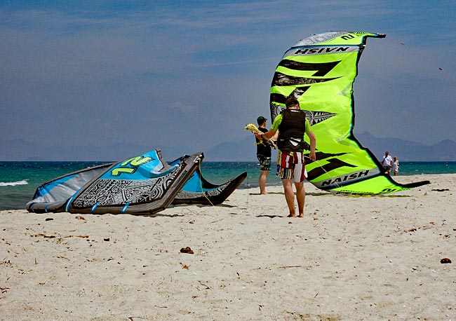
Kitesurfers on the beach
Those interested in surfing or kitesurfing can find numerous centers along the north coast where they can not only learn the necessary skills but also rent equipment if they are already experienced. Thanks to the offshore islands, conditions are generally ideal.
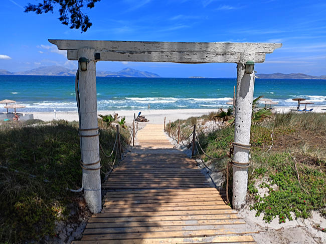
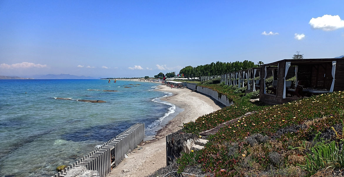
Entrance to a beach bar between Marmari and Mastichari; on the horizon, the islands of Kalymnos, Plati, and Pserimos (from left)
For those who enjoy walking along the shore, there is plenty of ground to cover on the north coast toward the mentioned locations and the main island city - enough to walk until your feet are weary. It is fascinating to see how each section of the coast changes, influenced by both natural landscape features and human intervention.
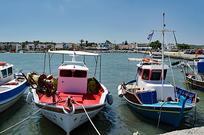
Fishing boats in the harbor of Mastichari
Unlike the previously mentioned locations, Mastichari is the only site on this side of Kos that offers a harbor. From here, excursion boats sail to the nearby offshore islands of Kalymnos, Plati, and Pserimos.
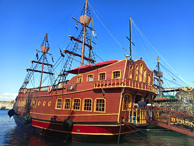
Piracy is a thing of the past; today, these "privateers" - the tourists - sail to Kalymnos and the neighboring islands. When the weather doesn't cooperate, excursion ships designed in the style of old sailing vessels depart from the port of Kos town, as seen in the image
The only historical site in the village is the early Christian Basilica of Agios Ioannis. Located on a small rise near the beach, this three-aisled structure was built around the middle of the first millennium, and its original floor plan remains clearly visible today.
previous page
 next page
Read more about Kos: The table of contents
Map
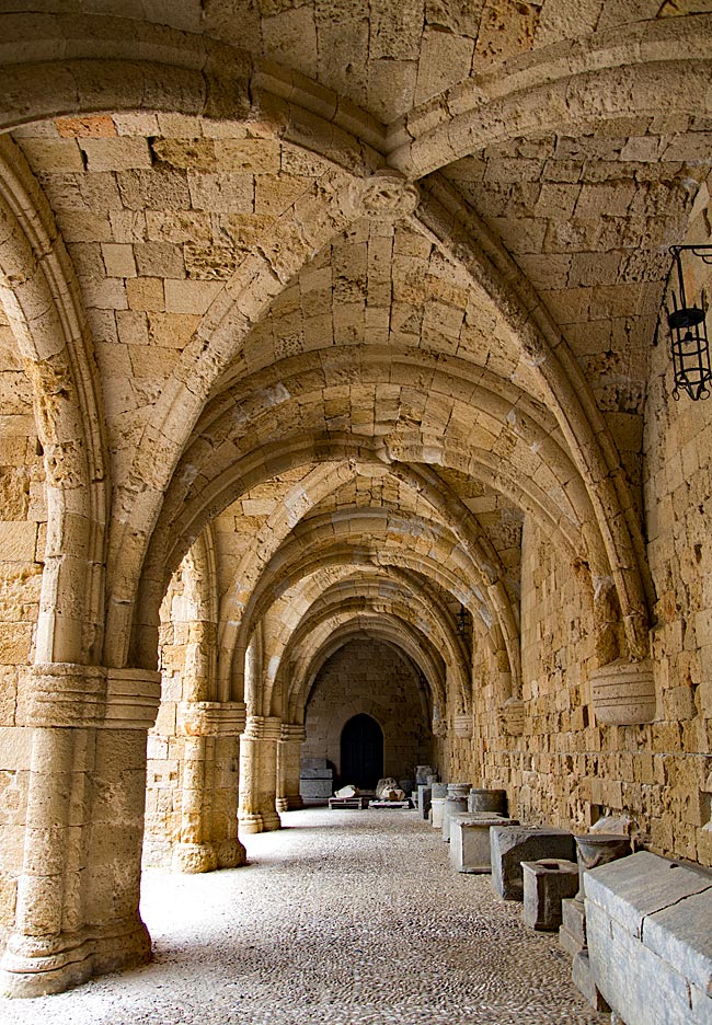
UNESCO World Heritage Site on Rhodes
A journey through the historic Old Town of Rhodes
Relics from various eras - ranging from antiquity to the period of Italian occupation - can be found almost everywhere on the island. Many have left their mark; in some places, they must be sought out, while in others, they appear in clustered, fascinating density and variety. Yet, nowhere else on the island are these traces as prominent as they are in the city of Rhodes. It is not for nothing that the historic Old Town was declared a UNESCO World Heritage site in 1988.
read more about Rhodes Old Town ...
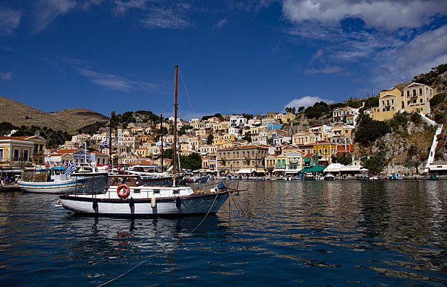
Symi
An excursion to the Greek Dodecanese island off the Turkish coast
A visit to this sparsely populated rocky island of about 60 square kilometers, with its namesake picturesque harbor town, is part of the standard tour itinerary offered in many locations on the Greek island of Rhodes. From the main island, it takes ships approximately two hours to reach the port of the small island located 23 kilometers north of Rhodes off the Turkish coast, which has belonged to Greece since 1947. As more of the Greek coast recedes into the distance to the port side, the ship draws closer to the Turkish shore; this part of the southern Aegean essentially connects Europe and Western Asia.
read more about Symi ...
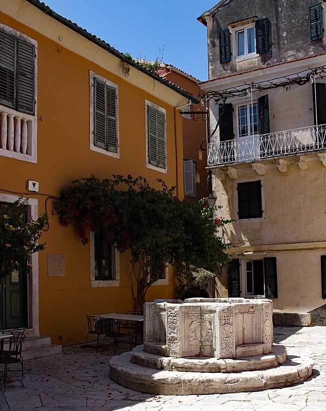
The "Green" Island of Corfu
From the sights of the capital, Kerkyra, to the Corfu Trail
The Greeks call not only the city but the island itself Kerkyra. According to legend, it was named after the nymph Gorgyra (also known as Kerkyra), who was brought to the island by the sea god Poseidon. A legend, indeed. In fact, the name appears in a modified form, "Korkyra," on written records as early as 1200 BC. The current name, Corfu, dates back to the Byzantine era. Once an independent island and later the first Roman province of modern Greece, it became part of the Eastern Roman (Byzantine) Empire after the fall of the Western Roman Empire in 395 AD. On a rocky promontory jutting into the sea, the Byzantines built a fortress in the early 6th century and named the city emerging from this core "Koryfo."
read more about Kerkyra ...
Zakynthos
An island defined by the Caretta caretta
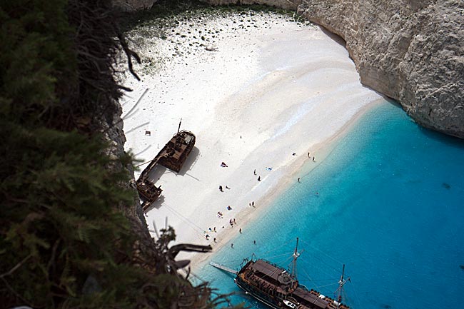
When searching for images of the 406 km² island online, one primarily encounters a very common recurring motif that has been captured from a similar angle by various photographers over the years: Navagio Bay on the northwestern coast. It's all junk, right? Well, that is a matter of perspective, and there are plenty of those during the season, whether they have a camera or not. The fact remains, however, that the rusting wreck of the motor vessel "Panagiotis" has become a landmark for Zakynthos.
read more about Zakynthos ...