

DISTANT PLACES
Travel tips by Bremen sehenswert far from the Hanseatic City of Bremen
Kos - The Greek Dodecanese Island
A Travel Guide
Pyli
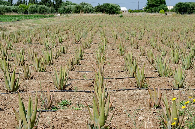
Aloe vera
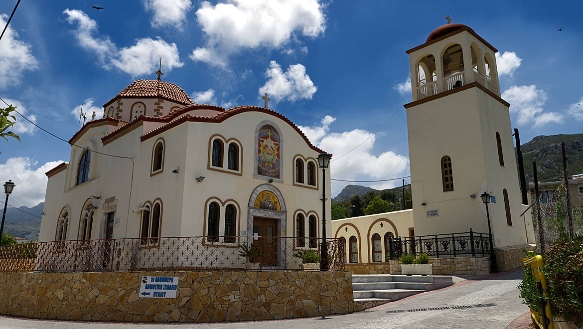
The road to Pyli branches off from the main road between the villages of Marmari and Tigaki. With views of the foothills of the Dikeos Mountains rising behind the village, the route passes by fields containing plants such as aloe vera. The few kilometers to this charming village of 2,500 inhabitants are quickly covered; however, it becomes strenuous - at least if you are traveling by rental bike - as the main road through the village passes the Church of Agios Geórgios through Kato Pyli (the lower part of the village), climbing steeply uphill.
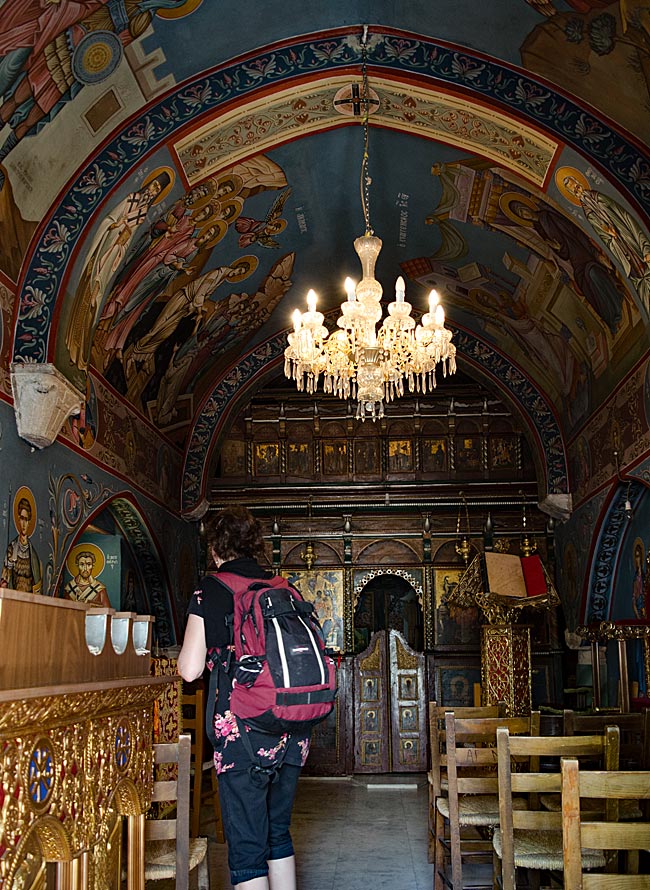
View of a small chapel in the village square
This makes it very convenient that one can stop for a refreshment at the taverns on the village square in the upper part of the town (Ano Pyli). Right next door, those interested can visit "Piliotiko Spiti," a three-room house that is traditional and typical of the area's past - hence the name "Pili’s House."
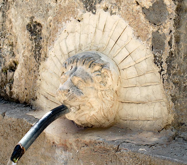
Lion-head water spouts at the village well, Pigi
Around the main square, signs point the way to the few local sights, including the village well, Pigi, located about 150 meters away. The wellhouse, constructed on a square plot in 1592, resembles a large, plain stone sarcophagus. Clear, cool water flows continuously from six spouts approximately thirty centimeters above the ground. Particularly noteworthy are the stone lion heads that adorn the pairs of spouts on the long sides. Just as it did in the past, the well - whose spring water was once rumored to have miraculous effects on the fertility of young women - is still actively used by the local population as a water source.
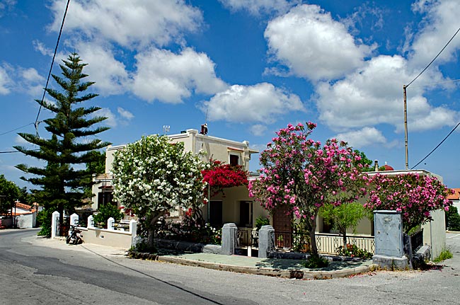
House near the Church of Agios Nikolaos
Back on the main road, the path continues upward through the village, passing the Church of Agios Nikolaos toward a turn-off into a residential area. Following the signs for "Charmylos’ Grave," the road ends in a dead end where, half a kilometer from the village square, lies a burial site dating back to the 4th century BC. On both long sides of the barrel vault - which is located below street level and open at the front - six niches are recessed; these were intended to house the mortal remains of the ancient hero and progenitor of the island's first ruling dynasty (the Harmylides), Harmylos (also known as Charmylos), and his family. A small hall supported by Ionic columns originally stood in front of the monument, though only fragments remain today. Parts of the original structure were used to build the Byzantine chapel located above the grave, which can still be seen there today. This includes a stone slab whose inscription refers to a dedication of the original site to the Olympian gods and the hero Harmylos, about whom little else is known.
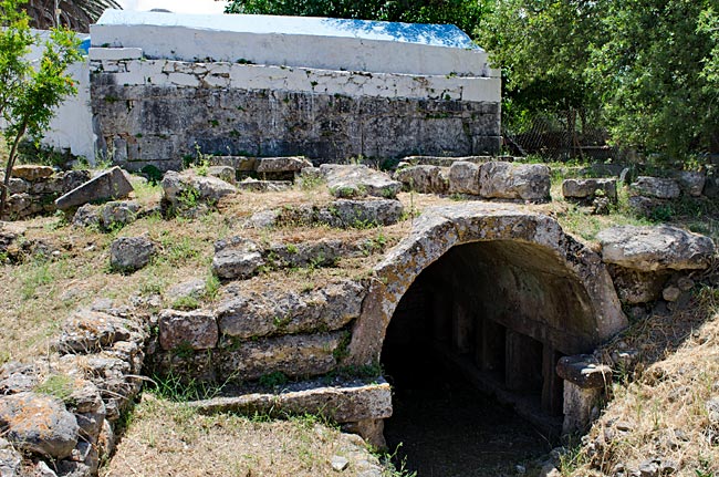
Burial site of Harmylos with the Byzantine chapel above it
Pyli is not actually a tourist destination; the fact that there is relatively much activity on the main road may be due to the fact that this road leads through the mountains to Kardamena on the other side of the island. No villages are located along the road as it climbs steadily until you reach the mountain ridge. From up there, you can overlook large parts of Kos; therefore, the road could almost be called a "scenic route."
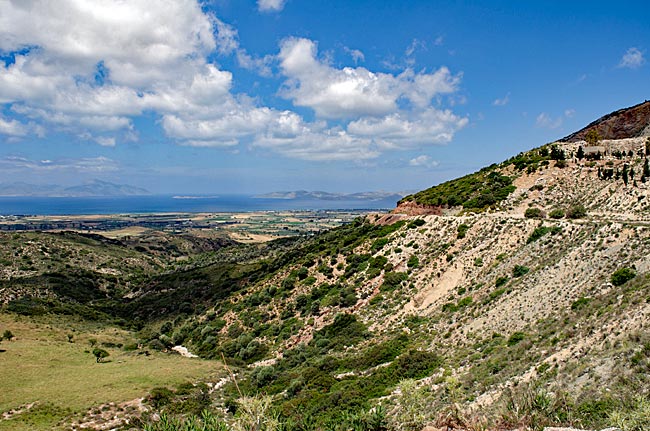
Panoramic view on the road from Pyli to Kardamena
previous page
 next page
Read more about Kos: The table of contents
Map
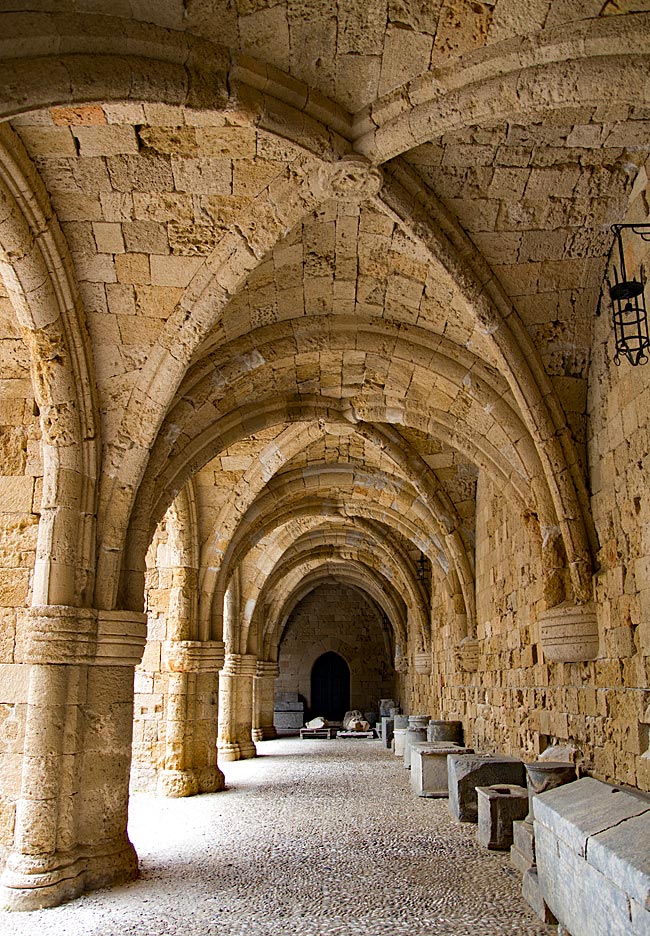
UNESCO World Heritage Site on Rhodes
A journey through the historic Old Town of Rhodes
Relics from various eras - ranging from antiquity to the period of Italian occupation - can be found almost everywhere on the island. Many have left their mark; in some places, they must be sought out, while in others, they appear in clustered, fascinating density and variety. Yet, nowhere else on the island are these traces as prominent as they are in the city of Rhodes. It is not for nothing that the historic Old Town was declared a UNESCO World Heritage site in 1988.
read more about Rhodes Old Town ...
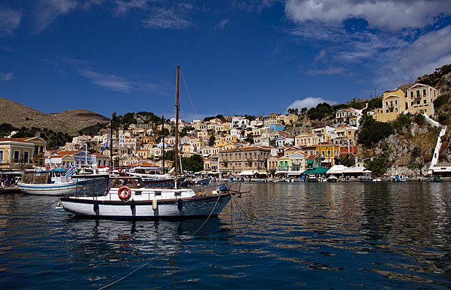
Symi
An excursion to the Greek Dodecanese island off the Turkish coast
A visit to this sparsely populated rocky island of about 60 square kilometers, with its namesake picturesque harbor town, is part of the standard tour itinerary offered in many locations on the Greek island of Rhodes. From the main island, it takes ships approximately two hours to reach the port of the small island located 23 kilometers north of Rhodes off the Turkish coast, which has belonged to Greece since 1947. As more of the Greek coast recedes into the distance to the port side, the ship draws closer to the Turkish shore; this part of the southern Aegean essentially connects Europe and Western Asia.
read more about Symi ...
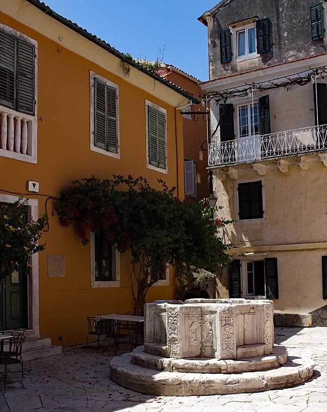
The "Green" Island of Corfu
From the sights of the capital, Kerkyra, to the Corfu Trail
The Greeks call not only the city but the island itself Kerkyra. According to legend, it was named after the nymph Gorgyra (also known as Kerkyra), who was brought to the island by the sea god Poseidon. A legend, indeed. In fact, the name appears in a modified form, "Korkyra," on written records as early as 1200 BC. The current name, Corfu, dates back to the Byzantine era. Once an independent island and later the first Roman province of modern Greece, it became part of the Eastern Roman (Byzantine) Empire after the fall of the Western Roman Empire in 395 AD. On a rocky promontory jutting into the sea, the Byzantines built a fortress in the early 6th century and named the city emerging from this core "Koryfo."
read more about Kerkyra ...
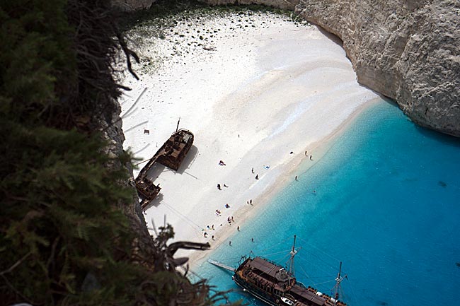
Zakynthos
An island defined by the Caretta caretta
When searching for images of the 406 km² island online, one primarily encounters a very common recurring motif that has been captured from a similar angle by various photographers over the years: Navagio Bay on the northwestern coast. It's all junk, right? Well, that is a matter of perspective, and there are plenty of those during the season, whether they have a camera or not. The fact remains, however, that the rusting wreck of the motor vessel "Panagiotis" has become a landmark for Zakynthos.
read more about Zakynthos ...
More photos