

DISTANT PLACES
Travel tips by Bremen sehenswert far from the Hanseatic City of Bremen
Kos - The Greek Dodecanese Island
A Travel Guide
On hot ground
A visit to the volcanic island of Nisyros
(1/2)
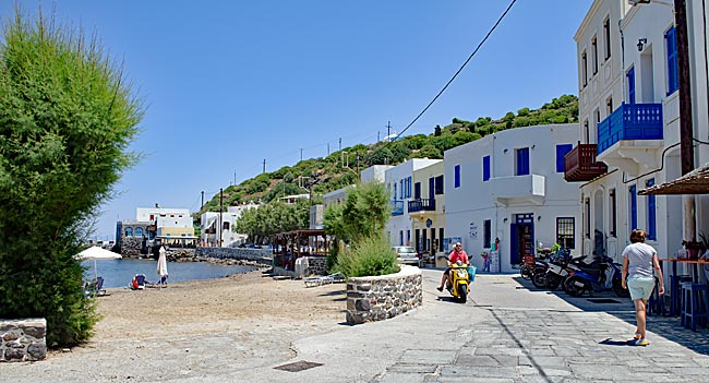
Promenade
A wonderful excursion from Kos is a day trip to the neighboring volcanic island of Nisyros. It is recommended to book an organized tour, which already includes bus transfers, the ferry crossing, and local transportation.
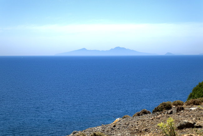
View of Nisyros from above the Embros Spa on Kos. Clearly visible - or rather, not so clearly - is the blasted cone of the volcano
The approximately 45-minute crossing early in the morning from Kardamena often takes place as part of a convoy of several smaller ships and is quite straightforward. The only "sight" along the way is a quarry on the small neighboring island of Gyali, where pumice is mined.
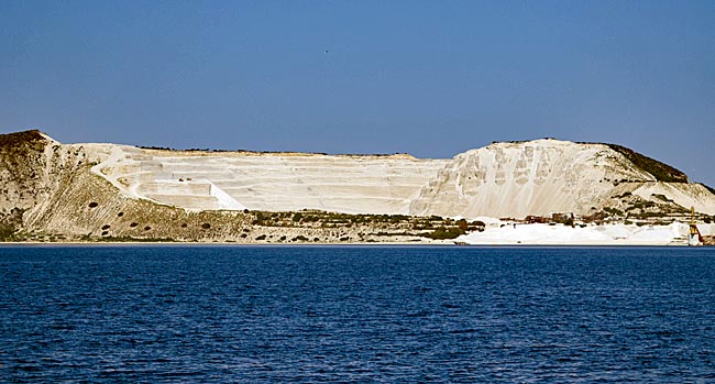
Pumice mining on the island of Gyali
The main settlement of the nearly circular 41 km² island of Nisyros is Mandraki on the north coast of the "Red Island," where the ships dock. It lies directly on the road leading to the high-altitude interior of the island. About two-thirds of the current population - not much more than 1,000 people - live in Mandraki and make a living from agriculture and tourism. The rest of the population lives in several villages scattered across the island and in the significantly smaller second port, Pali, which day-tourists on organized tours can only see from the bus window as they pass by.
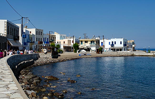
Promenade with local beach in Mandraki
From the harbor, where several tour buses are already lined up on the pier as excursion ships dock, it is a few hundred meters to the actual village. The path runs along the water past some restaurants and the small local beach until you can dive into the maze of narrow alleys and small streets. Most of the houses are no more than two stories high, whitewashed, and have flat roofs.
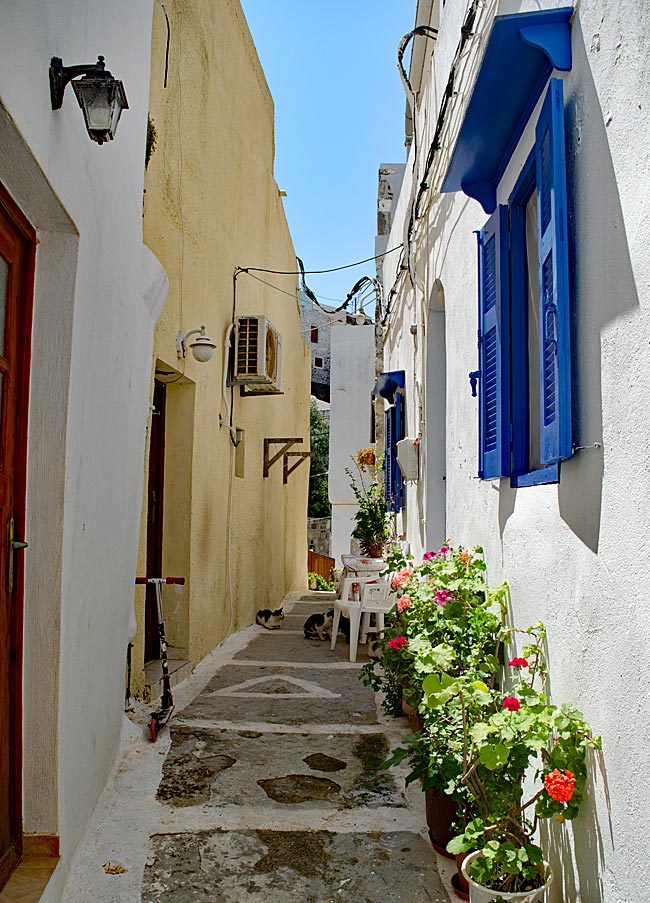
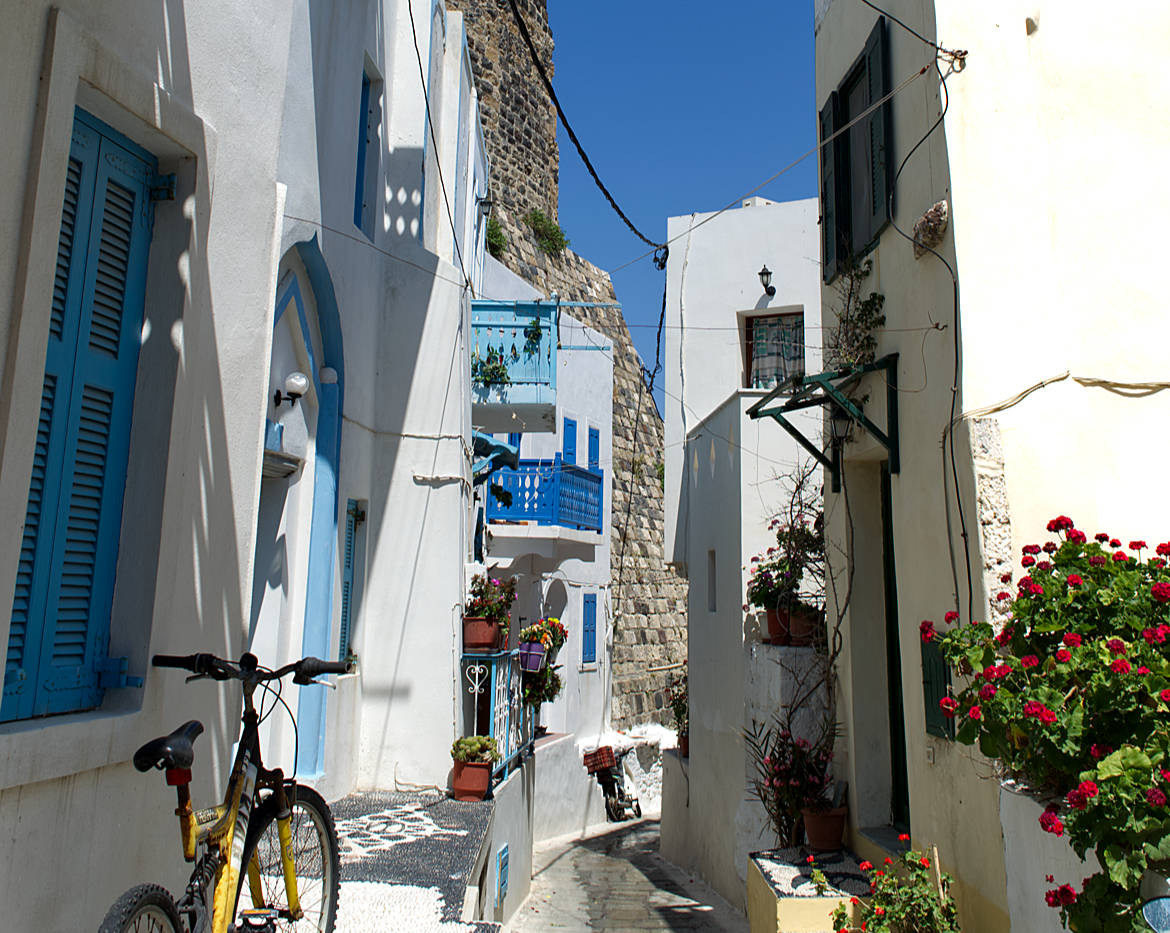
Narrow alley in Mandraki
Color is brought to the white landscape by shutters that are often painted in shades of blue, and by the multi-colored wooden balconies that adorn many building fronts. What makes them special is that they are protected as historical monuments; therefore, they cannot be demolished but only repaired. In some places, these airy extensions of living space protrude so far into the alleys on both sides that residents can reach out and shake hands over the railings. Neighborliness up close.
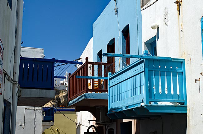
Balconies side by side
Many of the alleys are far too narrow for cars; therefore, scooters - which are both practical and widely used - are frequently used to transport people or small loads. However, you sometimes only hear them once they are already zipping around the corner.
The entrance to a small Orthodox church in honor of Mary appears almost inconspicuous. It takes a moment for the eyes, coming from the bright sunlight, to adjust to the darkness of the interior; then, the inner space reveals itself to be anything but unremarkable. Three ornate, massive brass chandeliers hang from a cross-vault decorated entirely with biblical scenes, and the richly designed iconostase of dark wood confronts the visitor in vibrant colors with the most important figures of Christian mythology or history - depending on one's interpretation. It is helpful to have a knowledgeable guide who can explain at least parts of what is seen, as many things here are unique.
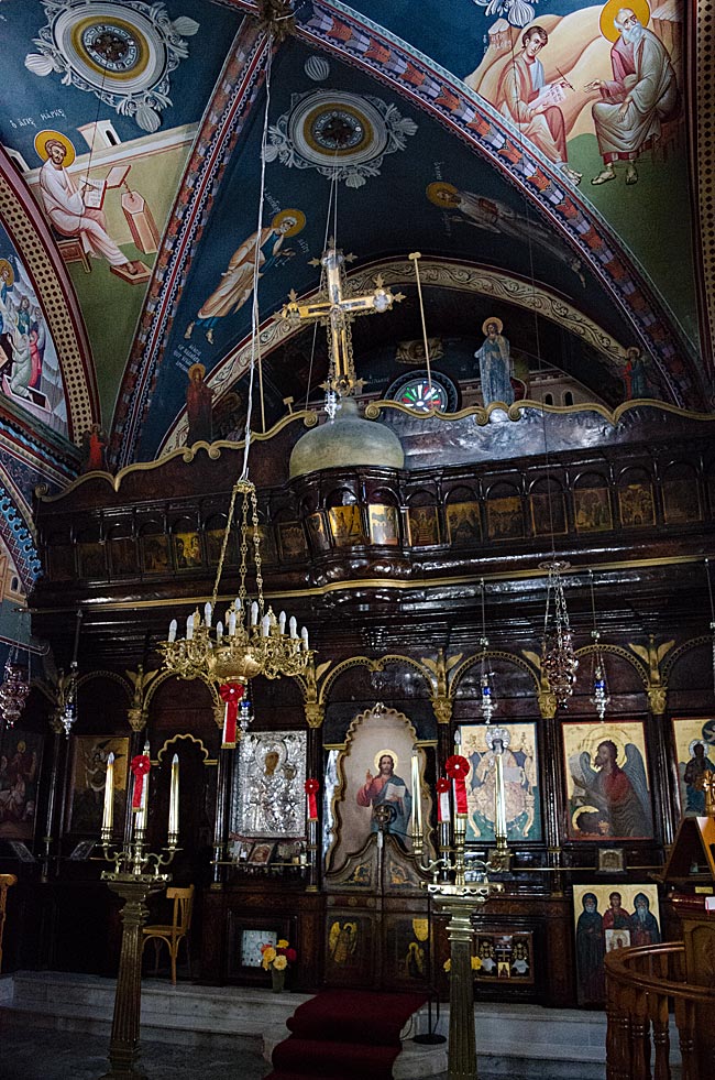
Inside the church
In the immediate vicinity of the house of worship, high up on a rock that borders the site, rise the ruins of a Knights Hospitaller fortress built in 1315. The knights of the Order, which was then based on Rhodes, positioned their castles - wherever possible - at a maximum distance of 14 nautical miles from one another so that they could signal each other in the event of approaching enemies, such as pirates or the Ottomans. In this way, the garrison on this castle could communicate with those at the fortress near Antimachia.
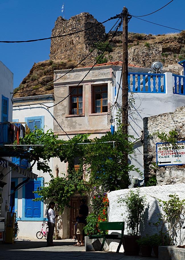
View of the Knights' Fortress
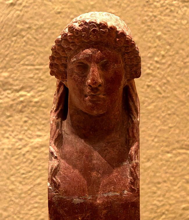
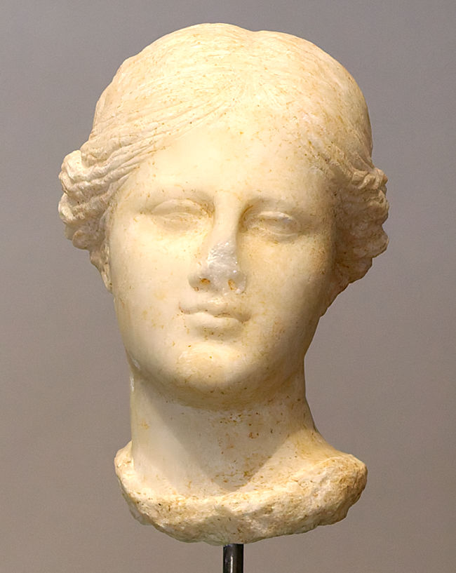
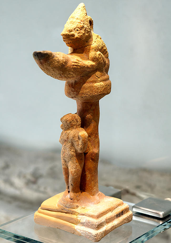
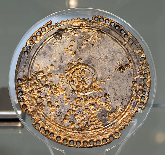
Today, only little of the "Spiliani" fortress on Nisyros remains visible; instead, at the turn of the century that followed, a cave monastery dedicated to the island’s patron saint, Mary, was built within the former fortress walls: the "Panagia Spiliani." Although the climb up the old stone steps is arduous, the visit is absolutely worth it; the main sacred space is impressive and breathes the history of past centuries - and that is full of stories. Those who wish to hear them will find their storytellers. By the way, photography is not permitted inside the monastery. Those who wish to learn more about the island's history can also visit the archaeological museum located in the town center.
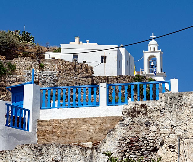
The monastery is located next to the fortress
previous page
 next page
Read more about Kos: The table of contents
Map
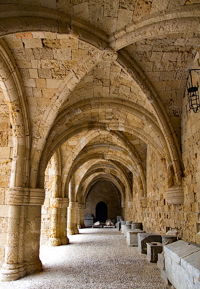
UNESCO World Heritage Site on Rhodes
A journey through the historic Old Town of Rhodes
Relics from various eras - ranging from antiquity to the period of Italian occupation - can be found almost everywhere on the island. Many have left their mark; in some places, they must be sought out, while in others, they appear in clustered, fascinating density and variety. Yet, nowhere else on the island are these traces as prominent as they are in the city of Rhodes. It is not for nothing that the historic Old Town was declared a UNESCO World Heritage site in 1988.
read more about Rhodes Old Town ...
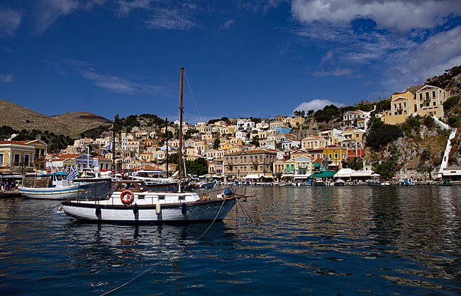
Symi
An excursion to the Greek Dodecanese island off the Turkish coast
A visit to this sparsely populated rocky island of about 60 square kilometers, with its namesake picturesque harbor town, is part of the standard tour itinerary offered in many locations on the Greek island of Rhodes. From the main island, it takes ships approximately two hours to reach the port of the small island located 23 kilometers north of Rhodes off the Turkish coast, which has belonged to Greece since 1947. As more of the Greek coast recedes into the distance to the port side, the ship draws closer to the Turkish shore; this part of the southern Aegean essentially connects Europe and Western Asia.
read more about Symi ...
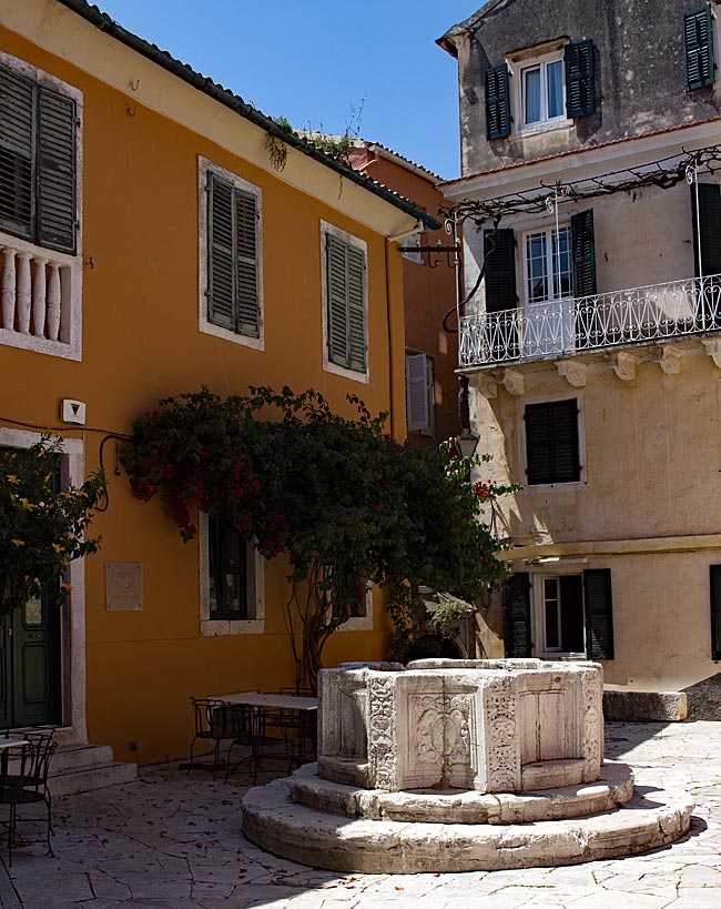
The "Green" Island of Corfu
From the sights of the capital, Kerkyra, to the Corfu Trail
The Greeks call not only the city but the island itself Kerkyra. According to legend, it was named after the nymph Gorgyra (also known as Kerkyra), who was brought to the island by the sea god Poseidon. A legend, indeed. In fact, the name appears in a modified form, "Korkyra," on written records as early as 1200 BC. The current name, Corfu, dates back to the Byzantine era. Once an independent island and later the first Roman province of modern Greece, it became part of the Eastern Roman (Byzantine) Empire after the fall of the Western Roman Empire in 395 AD. On a rocky promontory jutting into the sea, the Byzantines built a fortress in the early 6th century and named the city emerging from this core "Koryfo."
read more about Kerkyra ...
Zakynthos
An island defined by the Caretta caretta
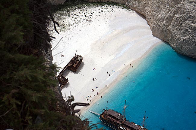
When searching for images of the 406 km² island online, one primarily encounters a very common recurring motif that has been captured from a similar angle by various photographers over the years: Navagio Bay on the northwestern coast. It's all junk, right? Well, that is a matter of perspective, and there are plenty of those during the season, whether they have a camera or not. The fact remains, however, that the rusting wreck of the motor vessel "Panagiotis" has become a landmark for Zakynthos.
read more about Zakynthos ...
More photos