

DISTANT PLACES
Travel tips by Bremen sehenswert far from the Hanseatic City of Bremen
Kos - The Greek Dodecanese Island
A Travel Guide
Tigaki
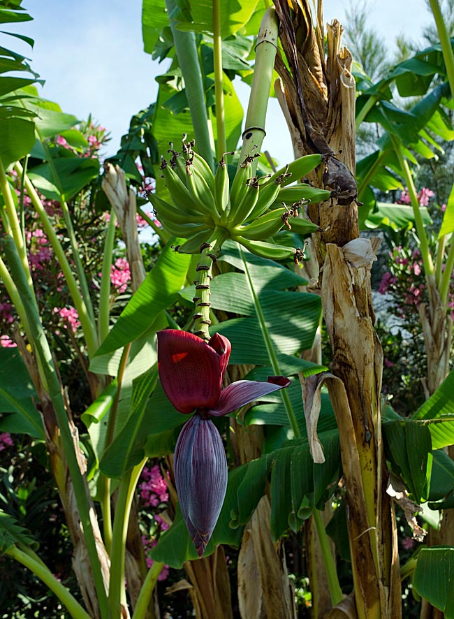
A culinary discovery in a hotel complex: a banana tree
What was written about the neighboring village of Marmari applies almost equally to Tigaki. Because the main road of this location - which is nearly deserted in winter - is lined with more small shops and restaurants than those in Marmari, Tigaki develops a slightly more distinct character as a "proper" destination. Many of the dining options suggest that this spot on the north coast is booked more frequently by British tourists.
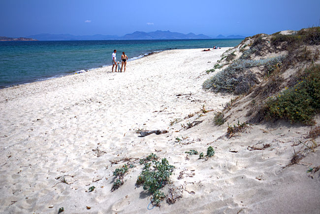
The beach between Tigaki and Marmari is, in sections, something for those seeking solitude
For those who don't shy away from a bit of exercise, a walk along the beach turning left leads to Marmari (about 3 kilometers) or allows one to walk almost all the way to the city of Kos. The sandy beach also stretches for kilometers in this direction, though it becomes quite narrow and is bordered directly by the coastal road. On a rental bike, it is possible to cycle relaxedly on flat terrain on the roads between Tigaki and Marmari, where there is relatively little traffic.
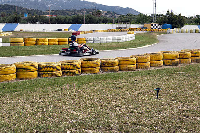
On the connecting road between Tigaki and Marmari
A more scenic but physically more demanding tour due to the inclines is a route through the mountain villages, starting with Pyli and continuing through Evangelistria, Asomati, Asfendiou, Lagoudi, Amaniou, and Zia. In the latter, one can enjoy a wonderful sunset. Choosing an e-bike from the rental shop is the right choice for this route. Similarly, Paleo Pyli is a rewarding and equally challenging destination for a bike tour. And yes, of course, these tours can also be done on any other type of rental vehicle; however, with those, the ability to stop at any moment to enjoy the changing views, the flora and fauna along the roadside, or to take in the seasonal scents of nature is much less likely.
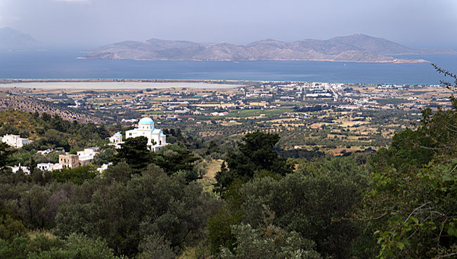
View from the mountain village of Zia over the church of Assomati Taxiarhes in Lagoudi toward the north coast with Tigaki (white spot on the right), the Alikes salt lake, and the offshore island of Pserimos
Without any aids, one can reach the Alikes (Alykes) salt lake on foot from Tigaki. Until the mid-20th century, salt was harvested here commercially until the salt works were closed and finally declared a nature reserve. Since then, this natural area has developed into a sanctuary primarily for birds. Depending on the season, many different types of water birds can be observed here breeding or overwintering, and with luck, even flamingos can be seen. However, they appear in white plumage because there are no crustaceans here that would give the birds' feathers a pink hue after being consumed elsewhere. In the intense heat of summer, the large expanse of the flat lake - which shimmers between light blue and green from the mountains - dries up almost completely. During this time, large parts of the water body can be walked around on foot.
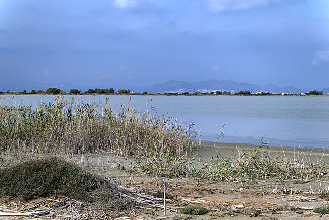
Even in May, the water level decreases, yet the lake remains substantial in size. The mountains in the background are already part of Turkey; the settlements on the slopes of the bay around Bodrum shine white in the sun
previous page
 next page
Read more about Kos: The table of contents
Map
UNESCO World Heritage Site on Rhodes
A journey through the historic Old Town of Rhodes
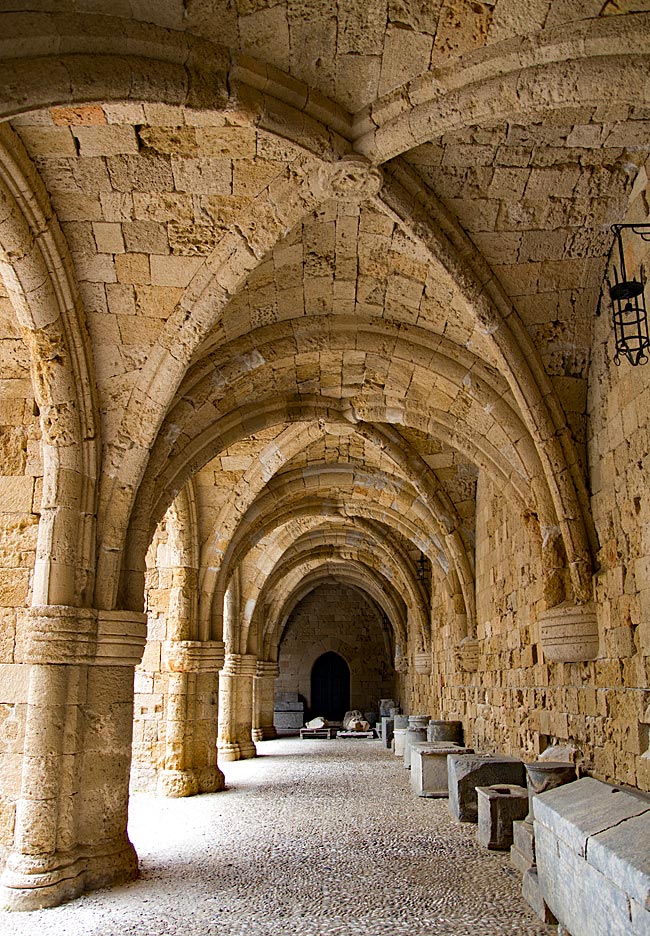
Relics from various eras - ranging from antiquity to the period of Italian occupation - can be found almost everywhere on the island. Many have left their mark; in some places, they must be sought out, while in others, they appear in clustered, fascinating density and variety. Yet, nowhere else on the island are these traces as prominent as they are in the city of Rhodes. It is not for nothing that the historic Old Town was declared a UNESCO World Heritage site in 1988.
read more about Rhodes Old Town ...
Symi
An excursion to the Greek Dodecanese island off the Turkish coast
A visit to this sparsely populated rocky island of about 60 square kilometers, with its namesake picturesque harbor town, is part of the standard tour itinerary offered in many locations on the Greek island of Rhodes. From the main island, it takes ships approximately two hours to reach the port of the small island located 23 kilometers north of Rhodes off the Turkish coast, which has belonged to Greece since 1947. As more of the Greek coast recedes into the distance to the port side, the ship draws closer to the Turkish shore; this part of the southern Aegean essentially connects Europe and Western Asia.
read more about Symi ...
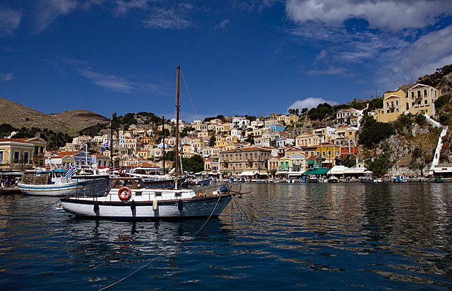
The "Green" Island of Corfu
From the sights of the capital, Kerkyra, to the Corfu Trail
The Greeks call not only the city but the island itself Kerkyra. According to legend, it was named after the nymph Gorgyra (also known as Kerkyra), who was brought to the island by the sea god Poseidon. A legend, indeed. In fact, the name appears in a modified form, "Korkyra," on written records as early as 1200 BC. The current name, Corfu, dates back to the Byzantine era. Once an independent island and later the first Roman province of modern Greece, it became part of the Eastern Roman (Byzantine) Empire after the fall of the Western Roman Empire in 395 AD. On a rocky promontory jutting into the sea, the Byzantines built a fortress in the early 6th century and named the city emerging from this core "Koryfo."
read more about Kerkyra ...
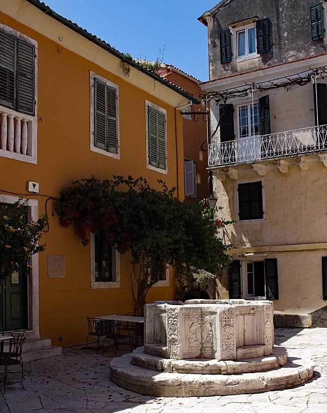
Zakynthos
An island defined by the Caretta caretta
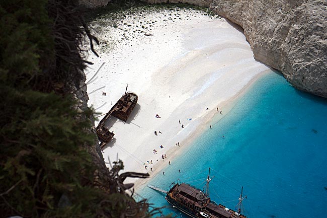
When searching for images of the 406 km² island online, one primarily encounters a very common recurring motif that has been captured from a similar angle by various photographers over the years: Navagio Bay on the northwestern coast. It's all junk, right? Well, that is a matter of perspective, and there are plenty of those during the season, whether they have a camera or not. The fact remains, however, that the rusting wreck of the motor vessel "Panagiotis" has become a landmark for Zakynthos.
read more about Zakynthos ...