

DISTANT PLACES
Travel tips by Bremen sehenswert far from the Hanseatic City of Bremen
Kos - The Greek Dodecanese Island
A Travel Guide
Paleo Pyli
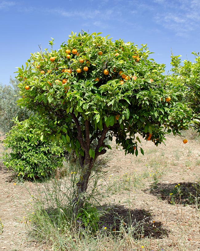
Orange tree at the roadside
If one comes from the main island road, there is a turn-off toward Paleo Pyli, the old Pyli, before today’s settlement of Pyli. The road leads windingly past olive groves and citrus trees through a sparsely settled landscape. The closer one comes to the abandoned settlement, the steeper the ascent becomes. Whoever wants to do the tour by bike should bring good fitness and choose the right rental bike; a gearbox with chain shift or an ebike is mandatory.
Orange tree at the roadside
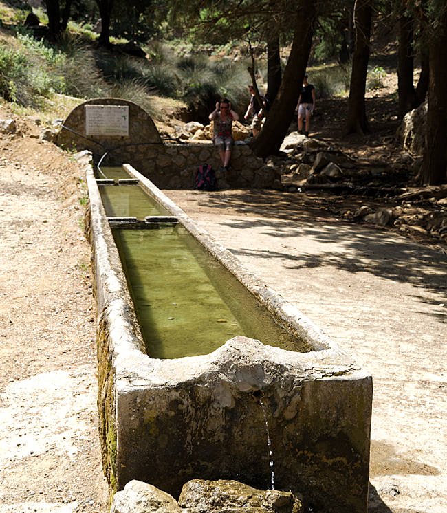
Having arrived once at the parking lot at the top, a stone basin constantly supplied with fresh water invites outdoor refreshment before one sets off to explore the area.
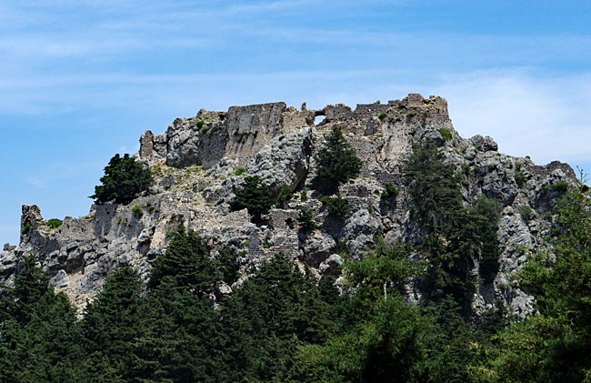
Fortress ruins in dizzying height
The nucleus of the settlement is a fortress that has crowned a high-rising rock since approximately the 11th century. Today, the construction is only a ruin, but the remains of the walls on several levels of the rock allow one to conclude that the castle was once of impressive size. Those who do not fear the arduous climb can also traverse the structure. Furthermore, from up there, one has a wide view of the north coast and the towns of Mastichari, Marmari, and Tigaki.
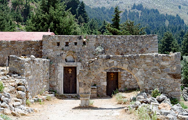
Church Asómati Taxiárches Gavriíl ke Miachaíl
With new masters on the fortress in the 15th century, the Hospitallers, the village arose at the foot of the elevation. The location was good and intentionally chosen, as the settlement could not be seen from the coast and was therefore relatively safe from pirates who were causing trouble in the Mediterranean at that time, as well as from the Ottomans.
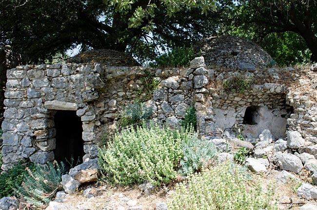
Former bakery
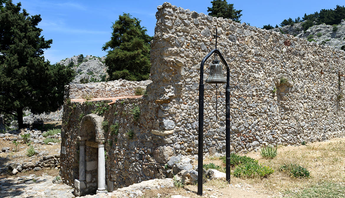
On the occasion of a cholera epidemic, the inhabitants eventually left the village and since then the houses built of fieldstones have fallen into decay. For some, only the foundations still stand; for others, not much more than the floor plan can be seen, while nature has moved back in.
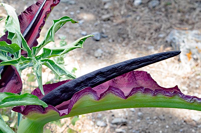
Interesting plant between the ruins
The best preserved are the two oldest buildings, which were constructed here even before the founding of the settlement. The churches Asómati Taxiárches Gavriíl ke Miachaíl and the Mary Church Panagía ton Kastrianón date from the 11th century; the latter is dated to the year 1080.
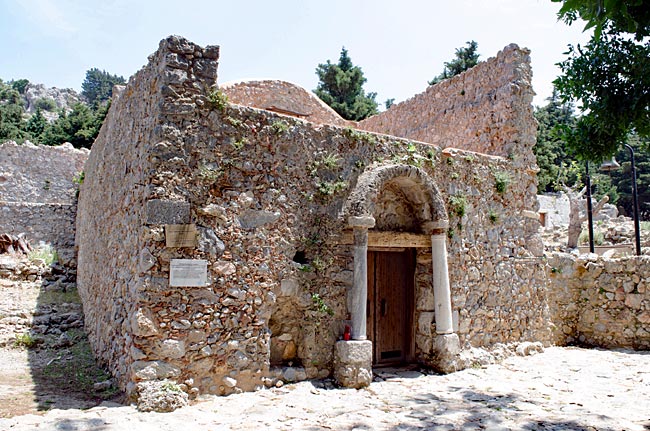
Mary church Panagía ton Kastrianón
Above the village, a Greek man serves the visitors of Paleo Pyli in his tavern with drinks and a small selection of dishes. From the terrace with only a few tables, one has a beautiful view over the village, onto the fortress on the rock opposite, and onto a part of the coast.
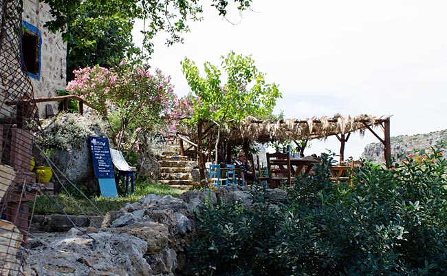
Small tavern above Paleo Pyli
previous page
 next page
Read more about Kos: The table of contents
Map
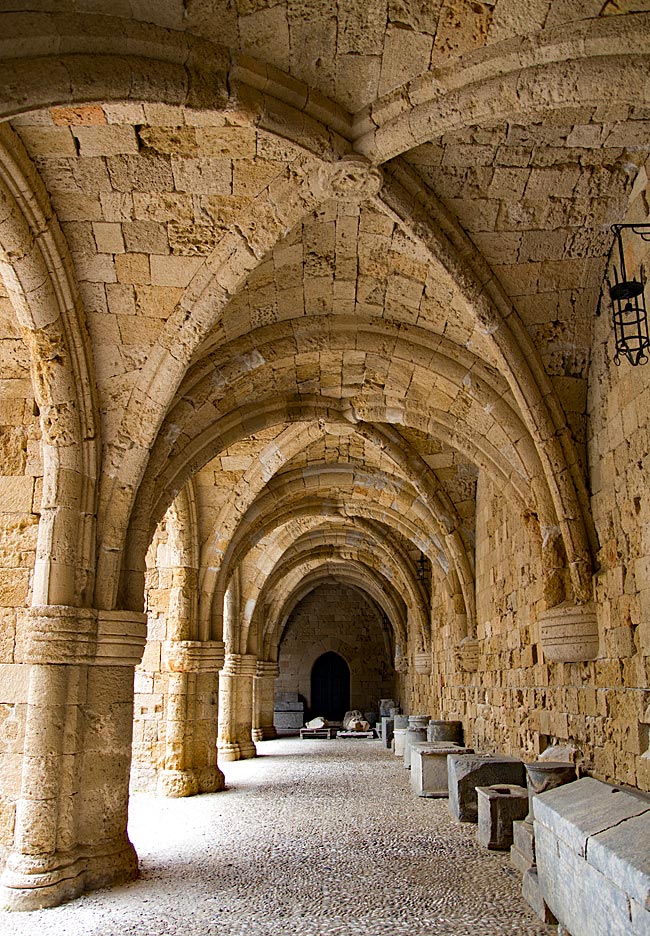
UNESCO World Heritage Site on Rhodes
A journey through the historic Old Town of Rhodes
Relics from various eras - ranging from antiquity to the period of Italian occupation - can be found almost everywhere on the island. Many have left their mark; in some places, they must be sought out, while in others, they appear in clustered, fascinating density and variety. Yet, nowhere else on the island are these traces as prominent as they are in the city of Rhodes. It is not for nothing that the historic Old Town was declared a UNESCO World Heritage site in 1988.
read more about Rhodes Old Town ...
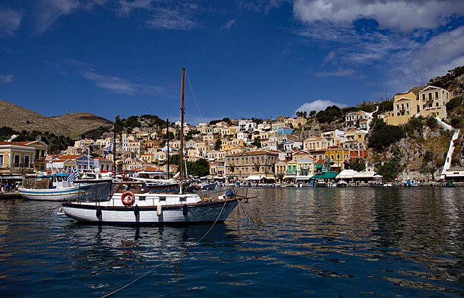
Symi
An excursion to the Greek Dodecanese island off the Turkish coast
A visit to this sparsely populated rocky island of about 60 square kilometers, with its namesake picturesque harbor town, is part of the standard tour itinerary offered in many locations on the Greek island of Rhodes. From the main island, it takes ships approximately two hours to reach the port of the small island located 23 kilometers north of Rhodes off the Turkish coast, which has belonged to Greece since 1947. As more of the Greek coast recedes into the distance to the port side, the ship draws closer to the Turkish shore; this part of the southern Aegean essentially connects Europe and Western Asia.
read more about Symi ...
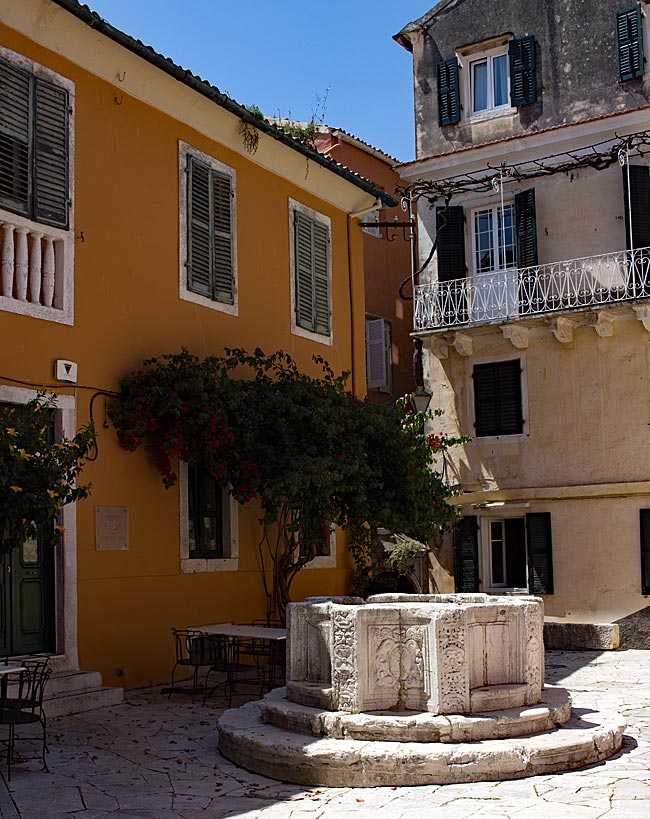
The "Green" Island of Corfu
From the sights of the capital, Kerkyra, to the Corfu Trail
The Greeks call not only the city but the island itself Kerkyra. According to legend, it was named after the nymph Gorgyra (also known as Kerkyra), who was brought to the island by the sea god Poseidon. A legend, indeed. In fact, the name appears in a modified form, "Korkyra," on written records as early as 1200 BC. The current name, Corfu, dates back to the Byzantine era. Once an independent island and later the first Roman province of modern Greece, it became part of the Eastern Roman (Byzantine) Empire after the fall of the Western Roman Empire in 395 AD. On a rocky promontory jutting into the sea, the Byzantines built a fortress in the early 6th century and named the city emerging from this core "Koryfo."
read more about Kerkyra ...
Zakynthos
An island defined by the Caretta caretta
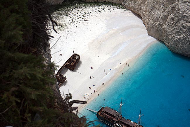
When searching for images of the 406 km² island online, one primarily encounters a very common recurring motif that has been captured from a similar angle by various photographers over the years: Navagio Bay on the northwestern coast. It's all junk, right? Well, that is a matter of perspective, and there are plenty of those during the season, whether they have a camera or not. The fact remains, however, that the rusting wreck of the motor vessel "Panagiotis" has become a landmark for Zakynthos.
read more about Zakynthos ...
More photos