

DISTANT PLACES
Travel tips by Bremen sehenswert far from the Hanseatic City of Bremen
Kos - The Greek Dodecanese Island
A Travel Guide
Kos Town - Agorá and Gate of Taxes
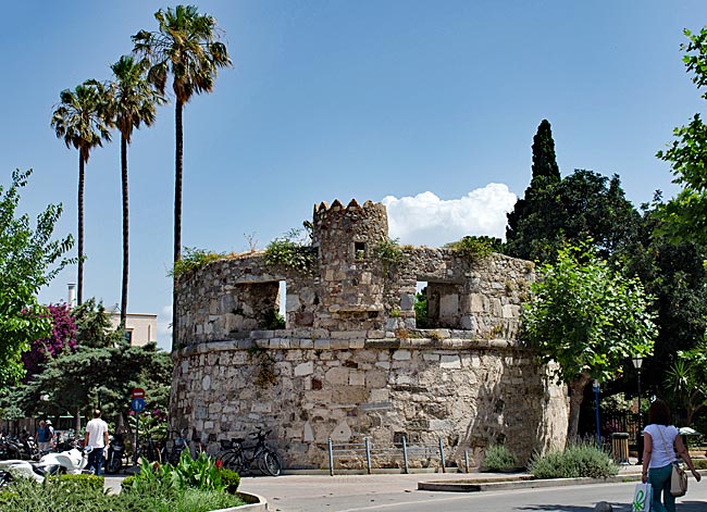
Watchtower of the medieval city wall
There are many excavation sites throughout the city; sometimes, nestled between houses, they look like small, fenced-off construction sites. Then, however, your gaze falls back in time as you see the exposed remains of an ancient residence, a bathhouse, or a place of worship. There are also larger areas where archaeologists have already performed extensive work - such as the Agora.
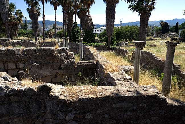
View of part of the Agorá
The expansive Agora is the city's largest site of ruins. It stretches out behind the Defterdar Mosque. Even during the time of the Knights Hospitaller, this area was built up with houses where the knights had their quarters. Of the defensive wall that once surrounded the area, only a watchtower remains today. The fact that none of the structures used by the Ottomans in the following era are still visible is due to the devastating earthquake on April 23, 1933, which caused this medieval residential city to collapse. Italian archaeologists removed the debris and uncovered the remnants of the structures located there in antiquity and centuries later. Among these were a long stoa - a colonnade from the 4th century BC where shops had their trading spaces - as well as parts of a Temple of Hercules and a Temple of Aphrodite from pre-Christian times, and the remains of a surprisingly large early Christian basilica from the 5th or 6th century, covering an area of 72 x 24 meters.
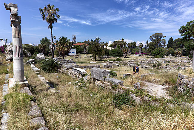
Two Columns on the Agora
From the original Agora - the ancient market and assembly space that gives the entire excavation site its name - one can still see the footprint of the area: 80 meters wide and roughly twice as long. Two erected and partially reconstructed columns indicate their location among all the wall fragments. Without the information boards, a visitor walking through the area would likely see little more than ancient stone ruins, especially when the grass between them grows too high.
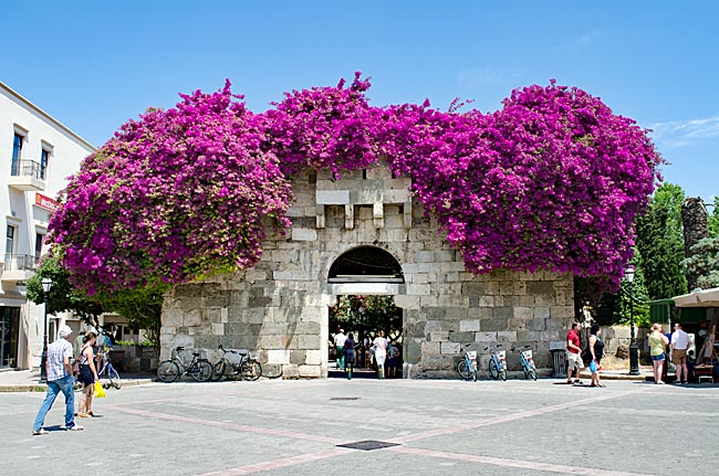
Covered in bougainvillea: the Gate of Taxes
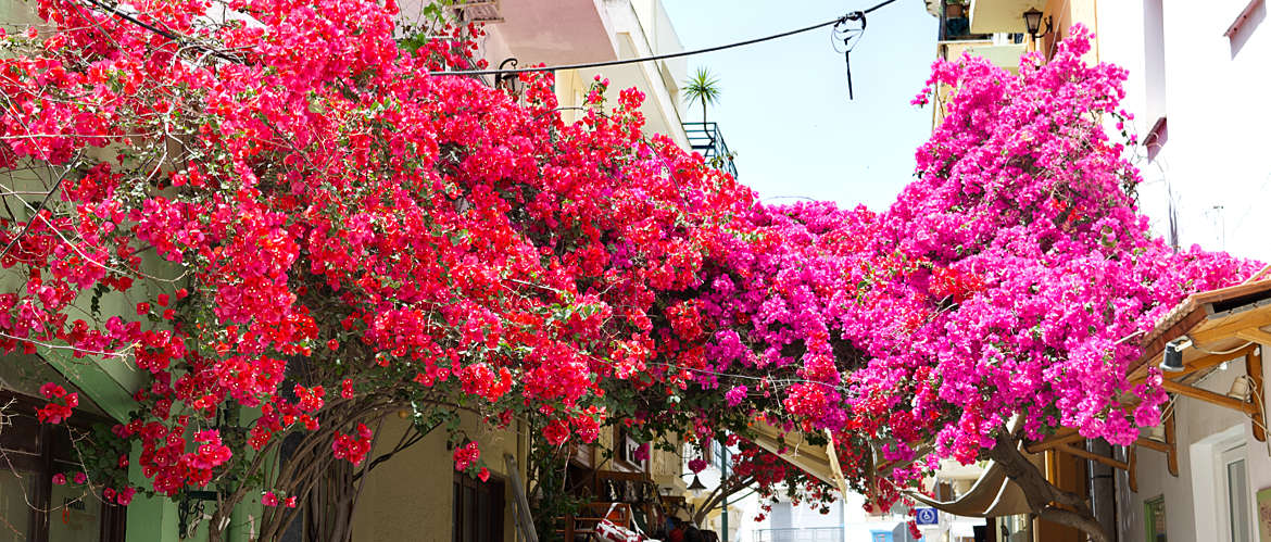
If you pass through the "Gate of Taxes" - today beautifully covered in purple bougainvillea - from Freedom Square near the mosque onto Odós Nafklírou, you no longer have to pay any fees. In the Middle Ages, the Porta tou Forou was a gate in the city wall. Out-of-town merchants were required to pay customs duties and taxes on their goods here before they were allowed to pass through and sell them within the city.
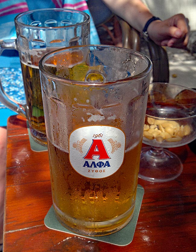
A cool Greek beer in the shade
Today, you will part with your money in a different way: on Odós Nafklírou, one restaurant or café follows another, and every few steps you are invited to sit down and order something. Admittedly, it is quite pleasant to sit there in the shade of trees, away from the smell of traffic along the side of the Agora, with a view of the ancient stones.
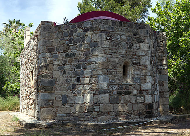
A more recent sacred structure at the periphery of the Agorá along the path to the beach
The town of Kos — it's worth seeing
Introduction
Freedom Square with Market Hall, Defterdar Mosque & Archaeological Museum
Agora and Gate of Taxes
Hadji-Hassan Mosque, Plane Tree of Hippocrates & Palace of Justice
Knights of Rhodes Fortress Neratzia
Dionysus Sanctuary, Casa Romana, Odeon
Western Excavation Site
Asclepieion (slightly outside town)
previous page
 next page
Read more about Kos: The table of contents
Map
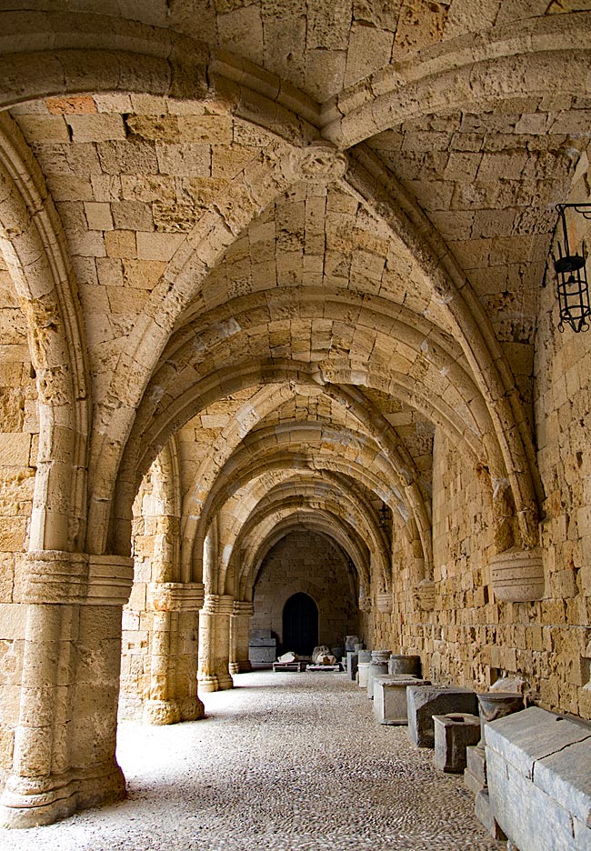
UNESCO World Heritage Site on Rhodes
A journey through the historic Old Town of Rhodes
Relics from various eras - ranging from antiquity to the period of Italian occupation - can be found almost everywhere on the island. Many have left their mark; in some places, they must be sought out, while in others, they appear in clustered, fascinating density and variety. Yet, nowhere else on the island are these traces as prominent as they are in the city of Rhodes. It is not for nothing that the historic Old Town was declared a UNESCO World Heritage site in 1988.
read more about Rhodes Old Town ...
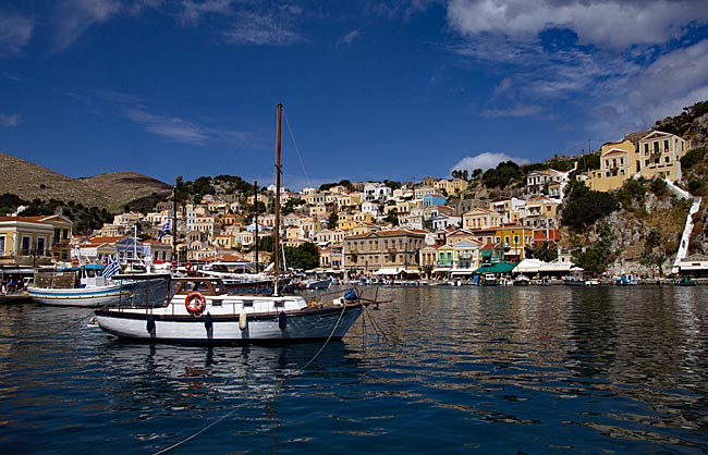
Symi
An excursion to the Greek Dodecanese island off the Turkish coast
A visit to this sparsely populated rocky island of about 60 square kilometers, with its namesake picturesque harbor town, is part of the standard tour itinerary offered in many locations on the Greek island of Rhodes. From the main island, it takes ships approximately two hours to reach the port of the small island located 23 kilometers north of Rhodes off the Turkish coast, which has belonged to Greece since 1947. As more of the Greek coast recedes into the distance to the port side, the ship draws closer to the Turkish shore; this part of the southern Aegean essentially connects Europe and Western Asia.
read more about Symi ...
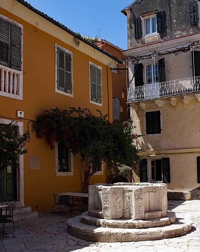
The "Green" Island of Corfu
From the sights of the capital, Kerkyra, to the Corfu Trail
The Greeks call not only the city but the island itself Kerkyra. According to legend, it was named after the nymph Gorgyra (also known as Kerkyra), who was brought to the island by the sea god Poseidon. A legend, indeed. In fact, the name appears in a modified form, "Korkyra," on written records as early as 1200 BC. The current name, Corfu, dates back to the Byzantine era. Once an independent island and later the first Roman province of modern Greece, it became part of the Eastern Roman (Byzantine) Empire after the fall of the Western Roman Empire in 395 AD. On a rocky promontory jutting into the sea, the Byzantines built a fortress in the early 6th century and named the city emerging from this core "Koryfo."
read more about Kerkyra ...
Zakynthos
An island defined by the Caretta caretta
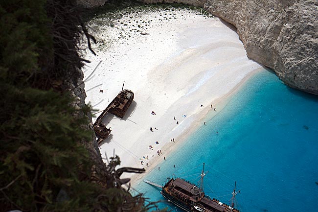
When searching for images of the 406 km² island online, one primarily encounters a very common recurring motif that has been captured from a similar angle by various photographers over the years: Navagio Bay on the northwestern coast. It's all junk, right? Well, that is a matter of perspective, and there are plenty of those during the season, whether they have a camera or not. The fact remains, however, that the rusting wreck of the motor vessel "Panagiotis" has become a landmark for Zakynthos.
read more about Zakynthos ...
More photos